Home> Services> Design> Site Development
Land Development Desktop Screenshots
Click on thumbnail to enlarge, move or close image
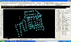
COGO points USED to insert survey data for existing ground surface definition.
Bringing more data in drawing for points description using XDref.
COGO points and break lines data used to create surface and contours for better
visualization.
